Stratigraphic unit
CIDOC documentation: E18 Physical Thing
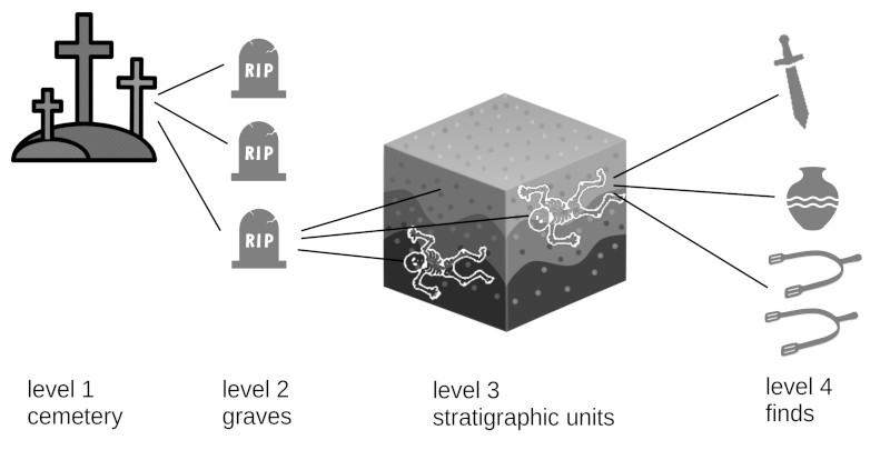
Stratigraphic units are primarily used to record archaeological data. They are subunits of a Feature which itself is a subunit of a Place. For an archaeological workflow example see Archaeological data.
Form fields
Super - a Feature which it is a part of
Can be linked via tabs to
Anthropological analyses
Clicking on the tools button leads you to the Anthropological Analyses.
Super and subunits
In the OpenAtlas database a Stratigraphic unit is a subunit of a Feature. A Feature can consist of one or more Stratigraphic units (e.g. grave as feature can contain one or more burials, a backfilling, etc.). Stratigraphic units themselves are structured in the same way and can be connected to items as their subunits.